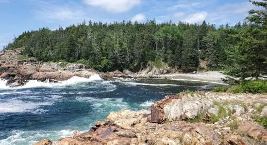
Wood Canyon is located on the
Pacific ocean and it is in the
243th place out of 385 beaches in the
California region
467.8 km away from its center, the city of
Sacramento. It is one of the beaches of
Concepcion settlement, just
1.1 km from its center.
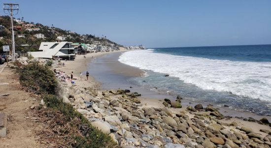
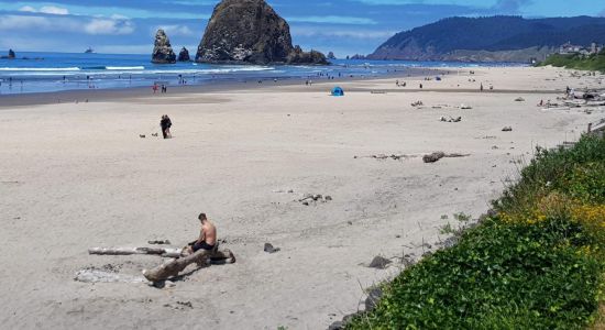
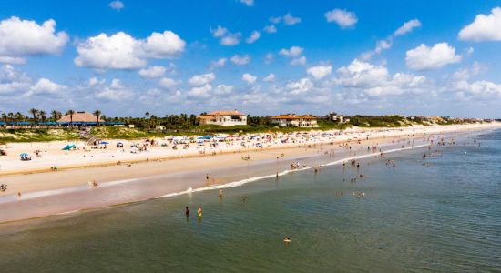
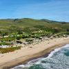
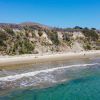
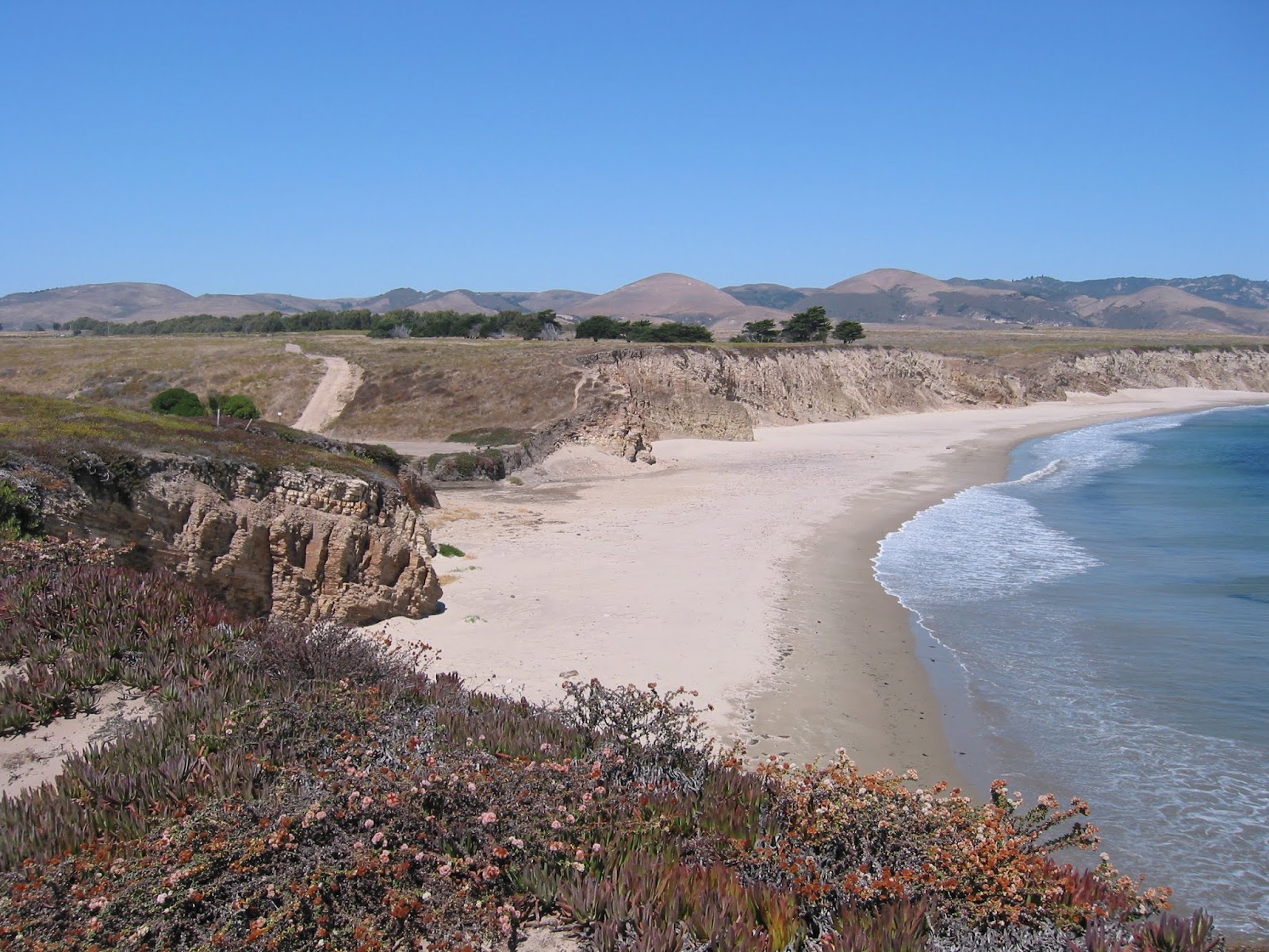
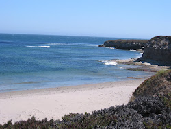
The beach is
located in a natural place, surrounded by the cliffs.
It is a long lasting coastline with turquoise water and bright sand,
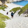
so you don't need special shoes. The entrance to the water is very smooth. This beach is suitable for different
categories of people, lonely travellers, relaxation getaway lovers
etc.
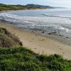
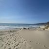
It is almost deserted place even during the high season.
Wood Canyon coast is free for all. It has no amenities, only nature. .
In addition to swimming and sunbathing, you can also take part in other activities.
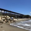
This beach is easily accessible, it is located very close to road. Parking is located directly on the beach.
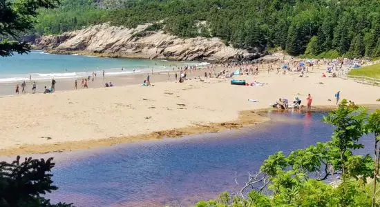
Wood Canyon (California)
is located outside the Concepcion
settlement, which may cause some difficulties
for travelers who stay far from the coast.
However, the remoteness from the village is not always a bad thing. Lovers of quiet rest know,
the farther the beach, the fewer crowds.
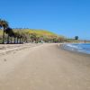
The beach stretches on the
sunny coast
and the easiest way to get to the beach is by car or bike. If you don't have this option,
then the second best solution is to use the taxi, which can drive you directly to the beach.
The only problem, if your stay is far away it can be quite expensive.
There is also a possibility of use of public transport, but in this case you need to check the correct route
to the Wood Canyon with the locals. Take into account that the bus stop is usually in some
distance., but accessing the beach requires traversing some distance on foot. While driving or cycling are the most
convenient options for reaching the start point of trail, these methods may not be feasible for everyone.
Alternatively, a taxi can be used to drive directly to the location. Public transportation is another option,
but it's important to confirm the correct route with locals beforehand as the bus stop may be located at
some distance.


 ©
Eric Hanscom Google
©
Eric Hanscom Google
 ©
Eric Hanscom
Google
©
Eric Hanscom
Google
 ©
Eric Hanscom
Google
©
Eric Hanscom
Google
 ©
Eric Hanscom
Google
©
Eric Hanscom
Google
 View map