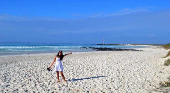
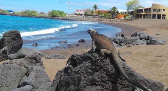
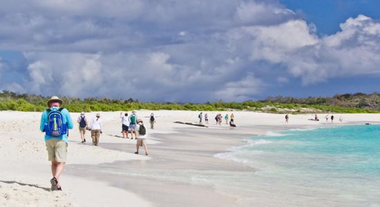
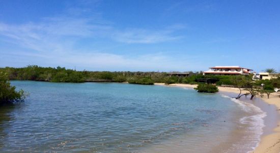
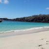
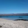
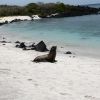
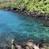
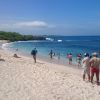
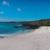
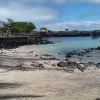
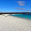
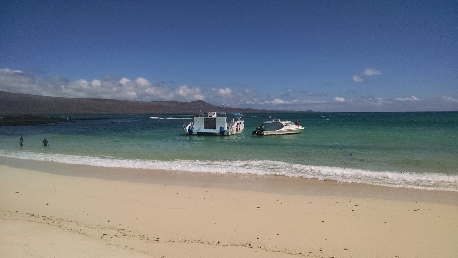
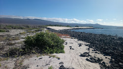
Photo of Playa El Manglecito with bright sand surface © Guillermo Moré Google
Playa El Manglecito photo #2 © Estilo-593 hair salon Google
Photo of Playa El Manglecito with turquoise pure water surface © Estilo-593 hair salon Google
Photo of Playa El Manglecito with bright sand surface © Guillermo Moré Google
Photo of Playa El Manglecito with turquoise pure water surface © Estilo-593 hair salon Google
6.8
Good

Playa El Manglecito

El Progreso, Ecuador
#30 out of 34 in Galápagos
6.8
Good
Located outside the settlement
El Progreso 8.8 km
Map of beach
Park Playa El Manglecito
630m
Park Puerto Grande
8.5km
Park Playa Tijeretas
9.6km
Park Bahía Baquerizo Moreno
9.8km

About

Playa El Manglecito is located on the Pacific ocean and it is in the 30th place out of 34 beaches in the Galápagos region The beach is located in a natural place.

It is a spacious bay with crystal turquoise water and bright sand, so you don't need special shoes. The sharpness of entering the water is quite normal. This beach is suitable for different categories of people, lonely travellers, relaxation getaway lovers, hikers etc. It is almost deserted place even during the high season.

Playa El Manglecito coast is free for all. It has no amenities, only nature. .

In addition to swimming and sunbathing, you can also take part in other activities.

Playa El Manglecito (Galápagos) is located outside the El Progreso settlement, which may cause some difficulties for travelers who stay far from the coast. However, the remoteness from the village is not always a bad thing. Lovers of quiet rest know, the farther the beach, the fewer crowds.

The beach stretches on the coast of the San Cristobal island and the correct question is not how to get to Playa El Manglecito, but what mode of transport can be used to get to it, because this part of the coast is inaccessible by land. The beach can only be reached by water and you have to rent a boat to get there.

Weather

history
+22 o C +22 o C
Air temperature
4.6 M/S
Wind
+23 o C
Water temperature
1.9 M
Wave height

El Progreso, Galápagos,

even more interesting beaches

View
Located outside the settlement
El Progreso 8.8 km
Map of beach
Park Playa El Manglecito
630m
Park Puerto Grande
8.5km
Park Playa Tijeretas
9.6km
Park Bahía Baquerizo Moreno
9.8km
Booking.com

Area

Average rating of nearest beaches is 7.7 (Very good)

Playa El Manglecito (Galápagos) is located outside the El Progreso settlement, which may cause some difficulties for travelers who stay far from the coast. However, the remoteness from the village is not always a bad thing. Lovers of quiet rest know, the farther the beach, the fewer crowds.

The beach stretches on the coast of the San Cristobal island and the correct question is not how to get to Playa El Manglecito, but what mode of transport can be used to get to it, because this part of the coast is inaccessible by land. The beach can only be reached by water and you have to rent a boat to get there.

View map

Nearest Beaches

Playa Ochoa
5.2km
Playa Ochoa Playa Ochoa
8.2 Very good
Puerto Grande
8.3km
Puerto Grande Puerto Grande
7.6 Very good
Playa Baquerizo
8.9km
Playa Baquerizo Playa Baquerizo
7 Good
Muelle Tijeretas
10.2km
Muelle Tijeretas Muelle Tijeretas
7.1 Good
Point Carola Beach
10.6km
Point Carola Beach Point Carola Beach
8.2 Very good
Playa man
10.8km
Playa man Playa man
8 Very good
Playa de Oro
11km
Playa de Oro Playa de Oro
7 Good
Playa Cerro Brujo
11.4km
Playa Cerro Brujo Playa Cerro Brujo
8.4 Very good

Localities

El Progreso  •  8.8km

Transport

SCY  •  12.6km
Terminal terrestre de Puerto Ayora  •  88.1km
All nearest beaches
You can set the search radius & filter nearest beaches by features

Travelers reviews

Average Reviews rating

6.8 Good

Share your experience with other travelers

Average Reviews rating

6.8 Good
ER
Elias Rodriguez
10 Exceptional

This location can be reached by boat.

April 2023